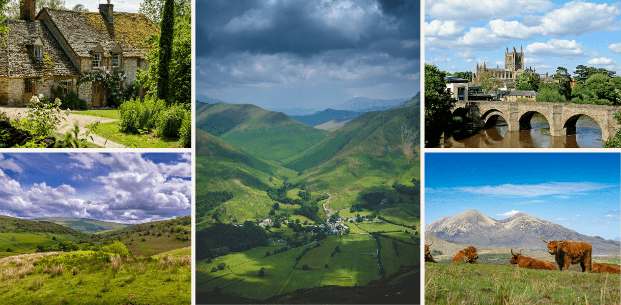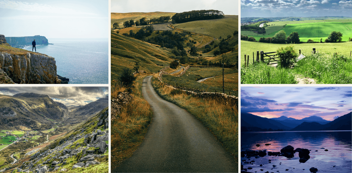
The north of England is magnificent summer walking country, with heather moors, limestone uplands, gritstone edges, Pennine scars, Northumberland crags and Lake District fells all competing for your attention. These 10 moorland and hill walks offer big views, proper fresh air and just enough uphill effort to make the post-walk tea, pint or enormous slice of cake feel fully justified.
Quick takeaways
Best for classic Yorkshire Dales scenery
Horse Head Moor and Deepdale, Malham Tarn and Malham Cove, Ingleborough from Clapham
Best for heather moorland
Farndale and High Blakey Moor, Hole of Horcum and Levisham Moor, Ilkley Moor and the Cow and Calf
Best for big northern views
High Cup Nick, Blencathra, Ingleborough, Simonside Hills
Best for quieter summer walking
Horse Head Moor and Deepdale, High Cup Nick, Simonside Hills
Best for first-time moorland walkers
Ilkley Moor, Hole of Horcum and Levisham Moor, Simonside Hills
Best for a proper hill day
Blencathra via Blease Fell, Ingleborough from Clapham, High Cup Nick
The glorious northern business of going uphill
There are summer walks, and then there are northern summer walks. The difference is usually a combination of wind, stone walls, skylarks, sheep with judgmental faces, and a view that makes you forgive the climb almost immediately.
The north of England is particularly good at hill and moorland walking because it refuses to settle on one personality. In the Yorkshire Dales, the hills are all limestone, scars, dry valleys and broad green uplands. In the North York Moors, the land rolls away in great purple-brown sweeps, especially magical when the heather begins to bloom. The Pennines bring grit, reservoirs, peat, industrial traces and the stern pleasure of being somewhere that does not flatter you too easily. Northumberland adds sandstone crags and wide border-country skies. The Lake District, not to be outdone, supplies the big fell finish.
These 10 walks are not the hardest in the north, nor the most obscure. They are chosen because they make excellent summer days out. Some are famous. Some are quieter. All offer that fine upland feeling of leaving the ordinary world somewhere down below and stepping into a larger, windier version of it.
1. Horse Head Moor and Deepdale, Yorkshire Dales
Horse Head Moor is a wonderful walk for anyone who likes the Yorkshire Dales at their open, spacious and slightly under-sung best. It starts in Upper Wharfedale, climbs away from the valley, crosses high ground and then returns through Deepdale and beside the River Wharfe. The National Trust’s route is listed as a 5-mile circular walk around Buckden and Starbotton, with fellside walking and a river return. (National Trust)
This is not a walk that shouts for attention. It does something better. It gradually opens out. The fields drop behind you, the walls stitch the hillsides together, and the moorland begins to take over. On a clear summer day, the views towards the surrounding Dales fells are excellent, with enough height to feel satisfying but not so much drama that the day becomes a test of character.
It is a fine choice if you want a quieter alternative to the headline Dales routes. There are no showy tricks here. Just good paths, big air, green slopes, limestone detail and that lovely Wharfedale feeling of being somewhere both civilised and properly upland.
Walk info
Start and finish
Buckden or Starbotton, Upper Wharfedale
Distance
Around 5 miles on the National Trust route
Difficulty
Moderate to challenging
Best for
Open Dales scenery, quieter hill walking and Wharfedale views
Facilities
Limited facilities in Buckden and Starbotton, with more options in nearby Kettlewell and Grassington
Route link
National Trust Horse Head Moor and Deepdale walk (National Trust)
Summer tip
Choose a clear day if possible. The pleasure here is in the sweep of the views as much as the walking itself.
2. Malham Tarn and Malham Cove, Yorkshire Dales
Malham is not a secret, and nor should it be. Some landscapes become famous because they are convenient. Malham became famous because it is spectacular and has the good manners to put several highlights within walking distance of each other.
A summer route linking Malham Tarn, Malham Cove and the surrounding limestone uplands gives you one of the finest short introductions to the Yorkshire Dales. The National Trust’s Malham Tarn upland farm route starts from Watersinks car park and follows grassy paths and tracks towards Malham Tarn. The National Trust also has a Malham Tarn National Nature Reserve route through boardwalk, woodland and limestone pasture, with summer wildflowers including globeflower and orchids. (National Trust)
For a fuller walk, combine the tarn with the great natural theatre of Malham Cove and the limestone pavement above it. The cove has a pleasingly ridiculous scale, the sort of place that makes first-time visitors go quiet for a moment before reaching for their phone. Higher up, the landscape becomes broader and more reflective, with water, stone, grass and sky doing the old Dales routine very well indeed.
Walk info
Start and finish
Malham village or Watersinks car park, depending on route
Distance
Around 6 to 8 miles for a fuller circular walk including the tarn and cove
Difficulty
Moderate, with steps, uneven limestone and exposed sections
Best for
Limestone drama, upland scenery and a classic Dales summer walk
Facilities
Pubs, cafés, toilets and parking in Malham, though it can be very busy
Route link
National Trust Malham Tarn upland farm circular walk (National Trust)
Summer tip
Start early or later in the day. Malham is magnificent, but it does attract a crowd with a determined picnic instinct.
3. Ingleborough from Clapham, Yorkshire Dales
Ingleborough has presence. It does not merely sit in the landscape. It announces itself, broad-shouldered and flat-topped, like a hill that has read the job description and taken it seriously.
The route from Clapham is one of the best ways to climb it. The Yorkshire Dales National Park describes this route as the most interesting way to the summit, taking in Ingleborough’s limestone scenery, the caves, Gaping Gill and Trow Gill. The walk is listed as 17km, or about 10 miles, with the summit of Ingleborough reaching 723 metres. (Yorkshire Dales National Park)
It is a proper hill day, but a varied one. You begin in a handsome Dales village, move through gentler wooded and limestone country, then climb into the open. The summit plateau feels wonderfully exposed, with views across the Dales, the Forest of Bowland and, in clear weather, much farther than seems entirely reasonable.
This is one for walkers who want summer grandeur without committing to the full Yorkshire Three Peaks. You still get the sense of achievement, but with more time to notice the caves, scars, slopes and changing character of the hill.
Walk info
Start and finish
Clapham village
Distance
Around 10 miles or 17km
Difficulty
Challenging
Best for
A classic Dales summit, limestone scenery and big views
Facilities
Pubs, cafés, shops, toilets and parking in Clapham
Route link
Yorkshire Dales National Park Ingleborough from Clapham route (Yorkshire Dales National Park)
Summer tip
Do not be fooled by warm conditions in Clapham. The summit can be windy, cool and clouded when the village feels positively cheerful.
4. Farndale and High Blakey Moor, North York Moors
Farndale is often celebrated for its spring daffodils, but summer suits it beautifully too. The valley has that soft North York Moors charm of fields, stone, lanes and quiet settlements, while High Blakey Moor gives the day its bigger, wilder shape.
Where2Walk’s Farndale and High Blakey Moor route is listed as a moderate walk of 12.5 miles, or 20km, starting from Church Houses, with tracks and moorland ground forming part of the route. (Where2Walk) It is the longest walk in this shortlist, so it is best treated as a full summer outing rather than a casual leg-stretch before lunch.
The reward is the contrast. Farndale gives you the sheltered valley mood. High Blakey Moor opens everything out. Suddenly the sky seems enormous, the land rolls away in long brown-green waves, and the North York Moors reveal their quiet genius for space. In late summer, when the heather comes into colour, the moorland can look almost theatrical, though in a pleasingly understated Yorkshire way.
Walk info
Start and finish
Church Houses, Farndale
Distance
Around 12.5 miles or 20km on the Where2Walk route
Difficulty
Moderate, but long
Best for
Heather moorland, valley contrast and a fuller North York Moors walking day
Facilities
Limited facilities in Farndale, with pubs and seasonal options nearby
Route link
Where2Walk Farndale and High Blakey Moor route (Where2Walk)
Summer tip
This is a longer day than some walkers expect. Take plenty of water and check the weather carefully before setting off.
5. Hole of Horcum and Levisham Moor, North York Moors
The Hole of Horcum sounds like folklore, geology and a pub story rolled into one. Happily, the landscape lives up to the name. It is a huge natural hollow on the North York Moors, surrounded by open moorland, tracks, views and enough atmosphere to make even a modest walk feel like an expedition.
Visit North Yorkshire describes the Levisham Moor and Hole of Horcum walk as a 5-mile scenic route starting from Saltergate, with a dramatic panorama over the Hole of Horcum, a track across Levisham Moor, archaeological remains and an optional diversion to Skelton Tower. (Visit North Yorkshire)
This is one of the best first moorland walks in the north because it delivers so much without requiring a punishing distance. The views are immediate. The route has variety. The moor feels open but not impossibly remote. In summer, the grasses, bracken and heather give the whole place colour and movement, while the hollow itself provides the grand reveal.
It is also a good reminder that the North York Moors are not simply gentle hills. They can be dramatic, strange and quietly spectacular, often all before you have finished your first flask of tea.
Walk info
Start and finish
Saltergate car park or Levisham area
Distance
Around 5 miles on the Visit North Yorkshire route, with longer variations possible
Difficulty
Moderate
Best for
Big moorland views, geological drama and a rewarding half-day route
Facilities
Limited facilities on the route, with options in nearby villages and Pickering
Route link
Visit North Yorkshire Levisham Moor and Hole of Horcum walk (Visit North Yorkshire)
Summer tip
Take time on the viewpoint sections. This is not a walk to rush like an errand with boots on.
6. Marsden Moor heritage trail north, West Yorkshire
Marsden Moor has a stern beauty, which is often the best kind. It is a place of gritstone, reservoirs, old tracks, peat, wind and industrial memory. It feels wild, but not empty. The landscape has been crossed, worked, quarried, drained and lived with for centuries.
The National Trust describes its Marsden Moor heritage trail north as a 10-mile walk with magnificent open moorland views and a route that explores the area’s history from Neolithic people through to the industrial revolution. (National Trust)
This is a good walk for people who like their moorland with stories in it. You get the bracing upland feel, but also the sense of a landscape shaped by transport, water, labour and industry. It is not a soft, chocolate-box walk, and all the better for it.
In summer, Marsden Moor can feel wonderfully spacious. The light is clean, the views are long, and the wind tends to arrive with the confidence of someone who has always lived there. It is a proper Pennine day out, with Marsden waiting below to provide the civilised ending.
Walk info
Start and finish
Marsden Moor Estate Office, Marsden
Distance
Around 10 miles
Difficulty
Challenging
Best for
Pennine moorland, reservoirs, gritstone and industrial heritage
Facilities
Pubs, cafés, shops and rail access in Marsden
Route link
National Trust Marsden Moor heritage trail north (National Trust)
Summer tip
Even in good weather, this is exposed moorland. Carry layers, waterproofs and reliable navigation.
7. Ilkley Moor and the Cow and Calf, West Yorkshire
Ilkley Moor is famous, accessible and still capable of making you feel as if you have stepped into something much larger than expected. The Cow and Calf rocks provide the opening flourish, but the moor beyond is the real joy, with gritstone, heather, rough paths, ancient stones and views over Wharfedale.
The Ilkley Moor heritage walk from the Cow and Calf takes walkers from the popular rocks into quieter areas beyond, on a route of around an hour over rough paths that can become muddy after rain. (Friends Of Ilkley Moor) For a longer outing, routes can be extended across the moor towards the Twelve Apostles stone circle and beyond.
This is a useful walk because it can be shaped to fit the day. Want a short summer wander with a view and a café afterwards? Easy. Want a longer moorland circuit with more solitude and a stronger sense of the uplands? Also possible. Ilkley Moor is generous like that, though it will still throw in a patch of bog or a brisk wind to keep everyone honest.
Walk info
Start and finish
Cow and Calf car park or Ilkley town centre
Distance
Around 1 hour for the heritage walk, with longer moorland options available
Difficulty
Easy to moderate, depending on route
Best for
Gritstone scenery, heather, views and an easy moorland escape
Facilities
Excellent facilities in Ilkley, including cafés, pubs, shops and rail access
Route link
Ilkley Moor Cow and Calf heritage walk (Friends Of Ilkley Moor)
Summer tip
Use the Cow and Calf as the start, not the whole walk. The quieter moor beyond is where Ilkley really begins to breathe.
8. High Cup Nick from Dufton, North Pennines
High Cup Nick is one of the great northern reveals. You climb from Dufton into the wide Pennine uplands, and then the land suddenly opens into a vast U-shaped cleft edged by crags. It is dramatic, unexpected and deeply satisfying, like the landscape has been saving its best line for exactly the right moment.
The National Trails route for High Cup Nick from Dufton is listed as a 9.5-mile walk and notes that it should only be undertaken in good weather, as the climb through High Cup gorge on an old miner’s track is tricky. (National Trail)
This is a superb summer hill walk for confident walkers. It has space, height, geology and that special North Pennines quality of being magnificent without making too much fuss about itself. It is less crowded than many better-known Dales or Lake District routes, which adds to the pleasure.
The approach from Dufton also gives the walk a lovely village-to-wild-country shape. Start among cottages and lanes. Climb steadily. Reach the rim. Stare. Feel briefly triumphant. Then remember you still have to walk back.
Walk info
Start and finish
Dufton
Distance
Around 9.5 miles on the National Trails route
Difficulty
Moderate to challenging
Best for
Geological drama, big Pennine views and quieter hill walking
Facilities
Pub and limited facilities in Dufton, with more options in Appleby-in-Westmorland
Route link
National Trails High Cup Nick from Dufton walk (National Trail)
Summer tip
Save this for settled weather. The view is the whole point, and the route deserves respect in poor conditions.
9. Simonside Hills, Northumberland
The Simonside Hills are not the highest hills in the north, but they have a rare gift for atmosphere. Rising above Rothbury and Coquetdale, they offer sandstone crags, woodland, heather moorland and wide views across Northumberland.
Forestry England’s Simonside Ridge Walk is a 4-mile route through the forest to the top of Simonside Crags, with a 360-degree panorama from the top. Forestry England also notes that other paths in the wood are not waymarked and recommends taking an OS map for navigation. (Home | Forestry England)
This is a brilliant summer choice if you want a shorter hill walk that still feels special. The route climbs through forest before reaching open ground, where Northumberland begins to do what Northumberland does best. The skies widen. The land loosens. The views stretch towards the Cheviots and, in clear conditions, out towards the coast.
There is a slightly magical quality to Simonside. Perhaps it is the sandstone. Perhaps it is the heather. Perhaps it is simply Northumberland being itself, which is usually enough.
Walk info
Start and finish
Simonside car park, near Rothbury
Distance
Around 4 miles for the Forestry England ridge walk
Difficulty
Moderate, with some short steep sections
Best for
Sandstone crags, heather, Northumberland views and a shorter hill day
Facilities
Limited at the car park, with shops, cafés and pubs in Rothbury
Route link
Forestry England Simonside Ridge Walk (Forestry England)
Summer tip
Go in the evening if conditions are settled. The light across Coquetdale can be superb.
10. Blencathra via Blease Fell, Lake District
Blencathra is the big fell finish to this list. It has a profile that looks serious from almost every angle, and a reputation to match. Sharp Edge gets much of the attention, but Blease Fell is the more forgiving choice for many walkers who want height, views and a proper Lake District summit without scrambling along a famous ridge with a raised pulse.
The Blease Fell route is still a serious walk. AllTrails lists Blencathra via Blease Fell as a hard out-and-back hike of 7.9km, with around 648 metres of ascent and an estimated time of 4 to 4.5 hours. (AllTrails.com) A separate route description by Peaky Baggers describes it as a 9km route with steep but manageable slopes and 360-degree views, aimed at confident hikers who want Blencathra without the ridge drama. (peakybaggers.com)
The climb from the Threlkeld side is steady and increasingly rewarding. The higher you go, the more the northern Lakes open around you. Skiddaw, Keswick, the Vale of St John and the surrounding fells all begin to arrange themselves into one of those Lake District panoramas that makes people say very little for a while.
This is the most mountain-like walk in the shortlist, so choose your day properly. In good summer weather, it is magnificent. In cloud, strong wind or poor visibility, it is a different matter entirely.
Walk info
Start and finish
Threlkeld or the Blencathra Centre area
Distance
Around 5 to 6 miles, depending on route variation
Difficulty
Challenging
Best for
A proper Lake District fell day, summit views and northern Lakes drama
Facilities
Pubs and accommodation in Threlkeld, with more facilities in nearby Keswick
Route link
Blencathra via Blease Fell route overview (AllTrails.com)
Summer tip
Use Blease Fell if you want Blencathra’s height and drama without taking on Sharp Edge. It is still a serious fell walk, not a scenic escalator.
How to choose the right summer walk
For a classic Yorkshire Dales day, choose Ingleborough, Malham or Horse Head Moor.
For heather moorland and wide skies, choose Farndale, Hole of Horcum or Ilkley Moor.
For a quieter hill walk with a grand reveal, choose High Cup Nick.
For a shorter walk that still feels special, choose Simonside Hills.
For a proper mountain-flavoured day, choose Blencathra via Blease Fell.
The gentlest introductions here are Ilkley Moor, Hole of Horcum and Simonside Hills. The biggest days are Farndale and High Blakey Moor, Marsden Moor, Ingleborough, High Cup Nick and Blencathra. Malham sits somewhere in the middle, though its popularity can make it feel more energetic than the map suggests.
Summer walking notes
Summer makes the northern hills inviting, but it does not make them tame. Moorland can be exposed, confusing in mist and surprisingly short of shade. Hill paths may be rocky, boggy or indistinct. Weather can change quickly. Mobile signal is not guaranteed. Sheep will continue to make their own judgments.
Take plenty of water, especially on open routes such as High Cup Nick, Marsden Moor and Blencathra. Carry a waterproof and a warm layer, even in July. Use proper footwear. Check the route before setting out. Keep dogs under close control around livestock and ground-nesting birds. On higher or more exposed routes, carry a paper map or downloaded offline mapping rather than relying on signal appearing just when you need it.
Above all, do not rush. Moorland and hill walks are at their best when you give them time. Stop on the tops. Look back down the valley. Notice the shift from village to field, field to rough pasture, rough pasture to open moor. That is the real reward of northern summer walking. The view is only part of it.
Final verdict
The best moorland and hill walks in the north of England are not just about height. They are about texture, weather, space and character. This shortlist gives you limestone drama in the Yorkshire Dales, heather and hollowed valleys in the North York Moors, Pennine grit around Marsden and High Cup Nick, sandstone atmosphere at Simonside and a proper Lake District fell day on Blencathra.
Choose well, pack sensibly and leave enough time for the post-walk reward. The north is very good at hills. It is also very good at pubs, cafés and places where you can sit afterwards pretending the climb was no trouble at all.